|
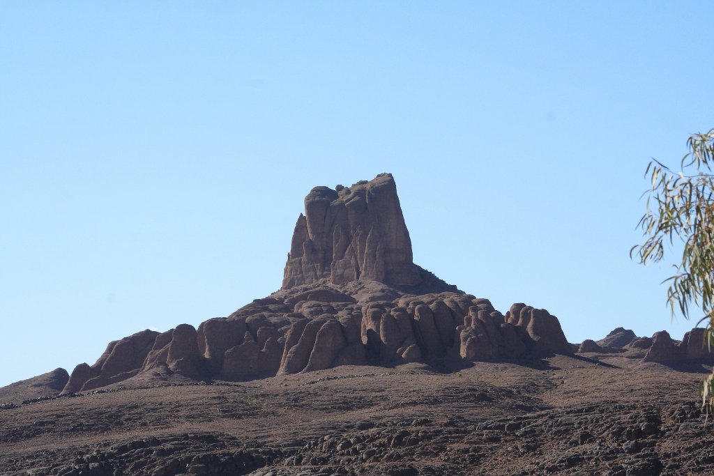 |
| Bab N'Ali | |
| Latitude: N 31°3'13,92" | Longitude: W 5°47'16,50" | Altitude: 1387 metres | Location: Jebel Sarhro | State/Province: Souss-Massa-Drâa | Country: Marokko | Copyright: Ron Harkink | See map | |
| Total images: 17 | Help | |
|
|
|
| Bab N'Ali | |
| Latitude: N 31°3'13,92" | Longitude: W 5°47'16,50" | Altitude: 1387 metres | Location: Jebel Sarhro | State/Province: Souss-Massa-Drâa | Country: Marokko | Copyright: Ron Harkink | See map | |
| Total images: 17 | Help | |